By Susan Hyatt, Michael Carter, and Max Wilbert
Storms chased us. Great, towering thunderstorms that came sweeping out of the west, lurking behind mountain ranges and flowing out across the valleys to drop great curtains of rain that soaked into the soil. That’s what this story is about: water. We came here, a group of us from many different places and backgrounds, to see the land that Nevada developers and Las Vegas real-estate moguls have been lusting after for twenty five years. But it’s not the land they want; it’s the water falling from these thunderstorms and melting off the fresh dusting of snow on the peaks, the water that soaks deep into stone and soil, forming basin aquifers.
Developers and officials are scheming to take this water in a process of legalized theft so environmentally threatening that it has united ranchers, native tribes, environmentalists, local governments, and even the Mormon church in opposition.
Las Vegas: Misogyny, Corruption, and Unsustainability

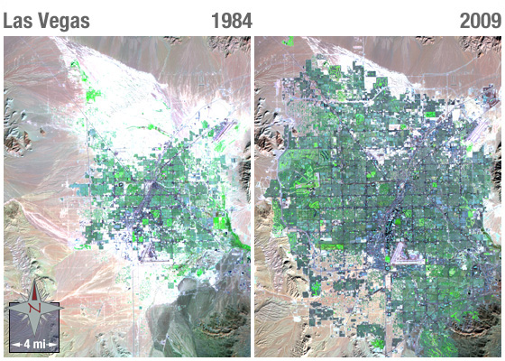
Las Vegas is built in the middle of the hot Mojave desert, on the exploitation of women and the gambling-obsessed. And it’s running out of water. The water level of Lake Mead—the 247 square mile reservoir formed by Hoover Dam on the Colorado River and main water source for Las Vegas—is dropping. Colorado River flows are declining, largely due to global warming and declining snowfall in the Rocky Mountains. Lake Mead fell to a record low of 1,082 feet in July 2014, and in June, 2015 fell below the official “drought trigger” elevation of 1,075 feet for the first time since the reservoir was filled.
The Colorado is one of the most-dammed rivers in the world, and huge quantities of water—more than 10 million acre-feet per year—are drawn from it every year to irrigate 5.5 million acres of arid farmlands. Irrigation accounts for more than 75% of the water extracted from the river. The rest is used for industry, livestock production, and household water for around 40 million people in Colorado, Arizona, California, and Nevada. Extraction is increasing: for example, the proposed Lake Powell pipeline of Utah’s Washington County.
The Water Grab
Thirsty for new water sources and driven by developers and real-estate speculators who want to install more and more golf courses and suburbs in the desert around Las Vegas, the Southern Nevada Water Authority (SNWA, the powerful, well-funded public water utility for the Vegas metro area) has for decades sought access to the water of eastern-central Nevada that lies underneath Spring, Snake, Cave, Lake, and Delamar Valleys. The proposed project would install wells and pumping stations to extract 200,000 acre-feet of water annually (about 65 billion gallons), then pipe it two hundred miles south to Las Vegas.
Civilization and Destruction
The Italian term contado refers to the sphere of influence of a city-state: the region over which it exerts control and extracts resources. From an anti-civilization worldview, contado is a perfect term to describe what cities do: they reach out into the landscape and extract what they want by means of coercion or force.
The SNWA water grab is a prime example of how civilizations (cultures based on cities, as opposed to cultures based on perpetual care of their landbases, without resource drawdown) inevitably destroy the planet. A bloated power center, ruled by the ultra-rich and served by an underclass of poorly-paid workers, bolstered by bought-and-paid-for politicians (see Harry Reid) and misused public tax dollars, reaches out and takes what it wants from the countryside. (See lawsuit alleges Vegas water authority cooked books on rural ranch profits.)
Legal Setbacks (For Now)

The proposal has been fought by local residents since it was first proposed in 1989. The opposition by Great Basin Water Network, White Pine County, and Confederated Tribes of the Goshute has lately been successful. The Nevada Supreme Court dismissed an appeal by SNWA in February 2015, and has ordered the agency and State Engineer (whose office granted the water rights to SNWA in the first place) “must find conclusively that SNWA’s proposed groundwater mining and export operation will be sustainable, and will not cause impermissible impacts on the environment and senior water rights holders. Of note, these are standards that SNWA and the State Engineer themselves have repeatedly conceded [on the record] that they cannot meet because the science does not support such conclusions,” according to the Great Basin Water Network.
As SNWA spokesman Bronson Mack told The Record-Courier news, “The [Supreme] Court’s decision is procedural in nature and does not address any substantive issues for the State Engineer. [SNWA] remains confident that the additional data Judge Estes required can be gathered and presented to the State Engineer so that this unused, available groundwater can be developed for the benefit of two million Nevada citizens in accordance with Nevada water law.” The powerful water agency has plenty of resources and endurance to pursue the pipeline.
More disturbing still, the Nevada Drought Advisory Forum (created by Nevada Governor Brian Sandoval and which includes SNWA) may be contemplating the legalization of water mining, where water tables are pumped lower than their natural capacity to recharge — something that is currently prohibited, at least beyond certain levels.
Resistance
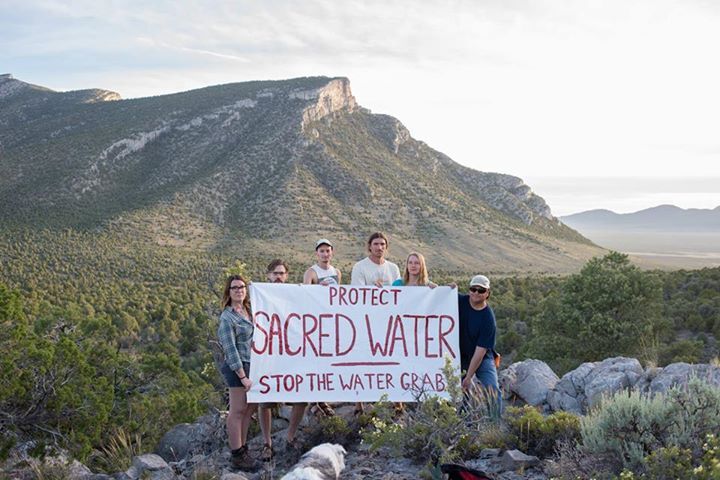
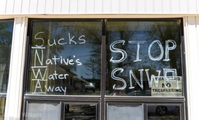
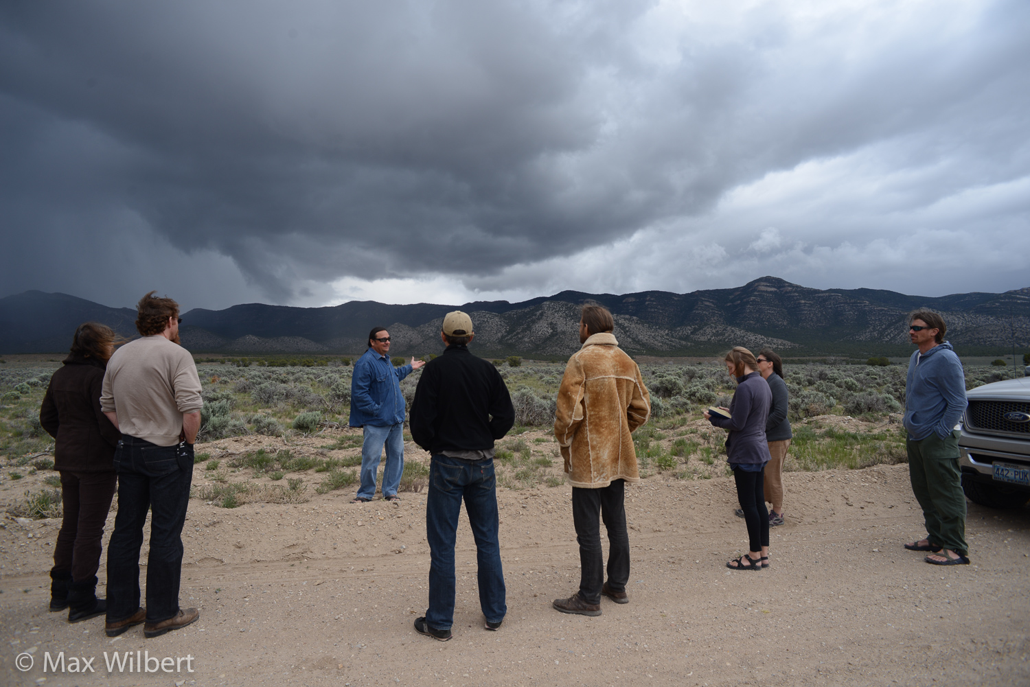
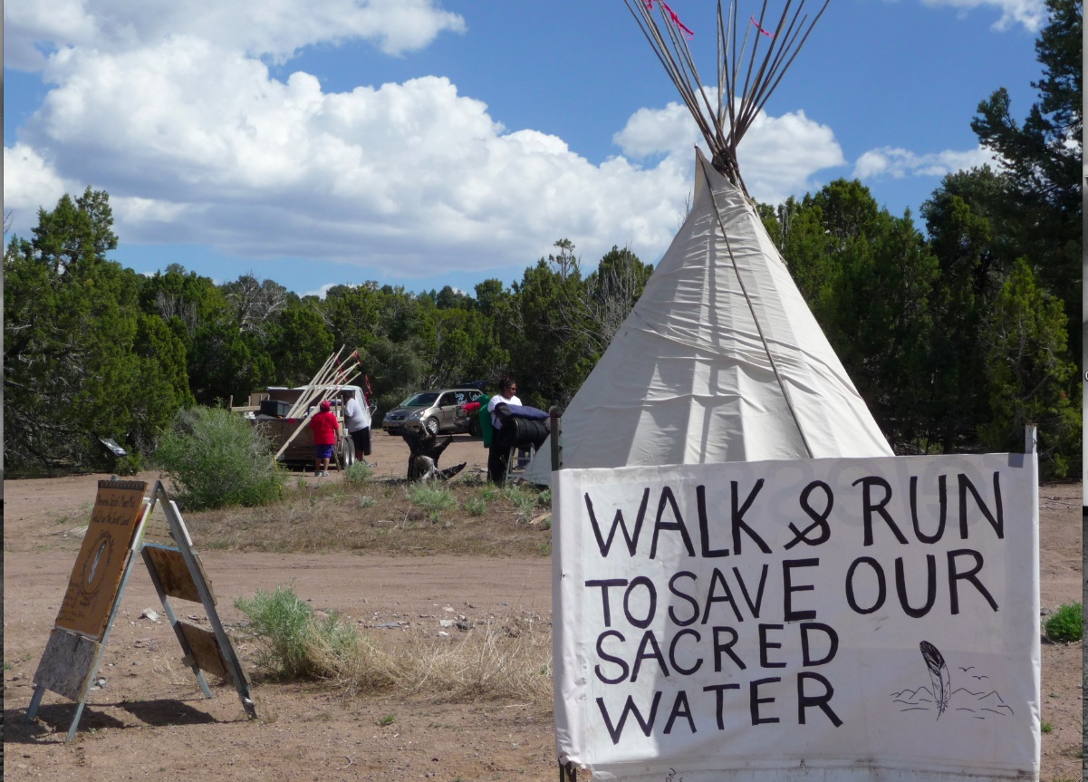

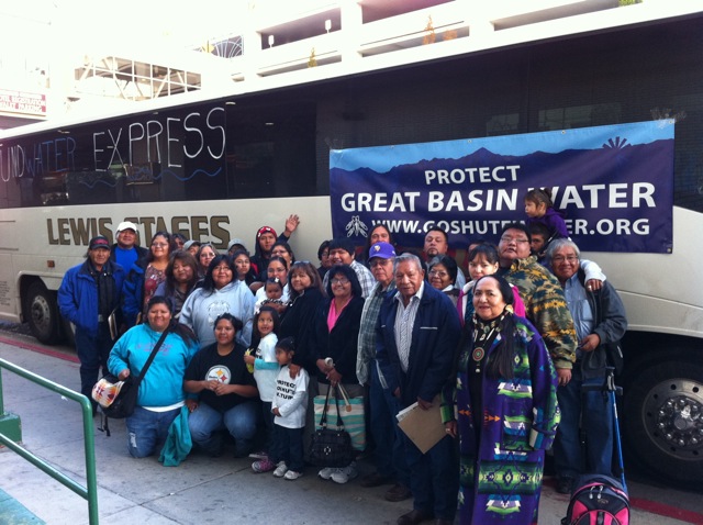
One of the developers who wants the water grab has described the Mojave desert around Las Vegas as “flat desert stuff.” They call living land a wasteland to justify its continuing plunder. To indigenous peoples—Shoshone, Paiute, and Goshute—the land and water are sacred.
Anyone who respects land and visits this place will fall in love with it. That’s the purpose of the Sacred Water Tour, an annual gathering organized by Deep Green Resistance for the past three years. In coordination with local activists and indigenous people, the public is welcomed every Memorial Day weekend to tour the region (for information on next year’s tour, follow Deep Green Resistance Great Basin).
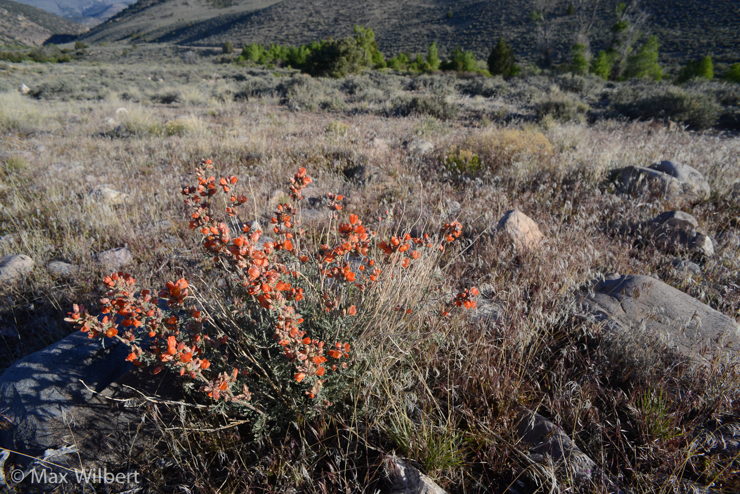
Every time you visit this place, you see a new side of it. It is so starkly beautiful it startles your senses with each new valley and mountain range, the smells of sagebrush and thunderstorm. There is much more living beauty here than can be conveyed in words: mammals, reptiles, birds; flowering plants, scrubby forests, snow covered peaks, rippling streams; and everywhere vast, silent distances, the rare sight of valleys free of towns and cities, mountain ranges stacked one upon the other in countless shades of gray and purple.
Sacred Water Tour
Day 1
We met in Alamo, Nevada, a small town in the Pahranagat Valley surrounded by rocky hills where the Mojave and Great Basin Desert also meet. Thriving old cottonwood trees and green fields tell of valley groundwater. The first stop was Upper Pahranagat Lake, a beautiful series of lakes and wetlands now partially protected as a National Wildlife Refuge. Our local guide and friend, Rick Spilsbury of the Shoshone Nation, said when he was a kid the lakes would wander around in the Pahranagat Valley; beaver dams would go up and down, shifting their position. Now, they are fixed with man-made dams.
Many beaver lodges still punctuate the lake’s surface. Pahranagat means “Valley of Shining Water” in the Paiute language. In the southern Paiute tradition, a canyon near the Pahranagat Lake is the birthplace of Kwi-’nat-sits, the red-tailed hawk. When the water level lowered as the region dried, it left a white band across Kwi-nat’-sits’ tail as well as the canyon walls. The valley is home to many plants and animals from both the Mojave and Great Basin deserts. Endangered southwestern willow flycatchers migrate more than two thousand miles from this area to wintering grounds in Central America. Greater sandhill cranes, whose population is low and declining, use the Pahranagat Lakes as one of only two known staging areas for their migration.
We spotted great blue herons through the reeds and counted dogbane, smokebush, and sacred datura among the plants on shore before the rain started in a sudden cold rush, moving us on . Heading northeast towards Delamar Valley on a dirt road through steep rocky hills, the creosote bush and Joshua tree—all Mojave plants—gave way to greasewood and blackbrush shrubs of the Great Basin.


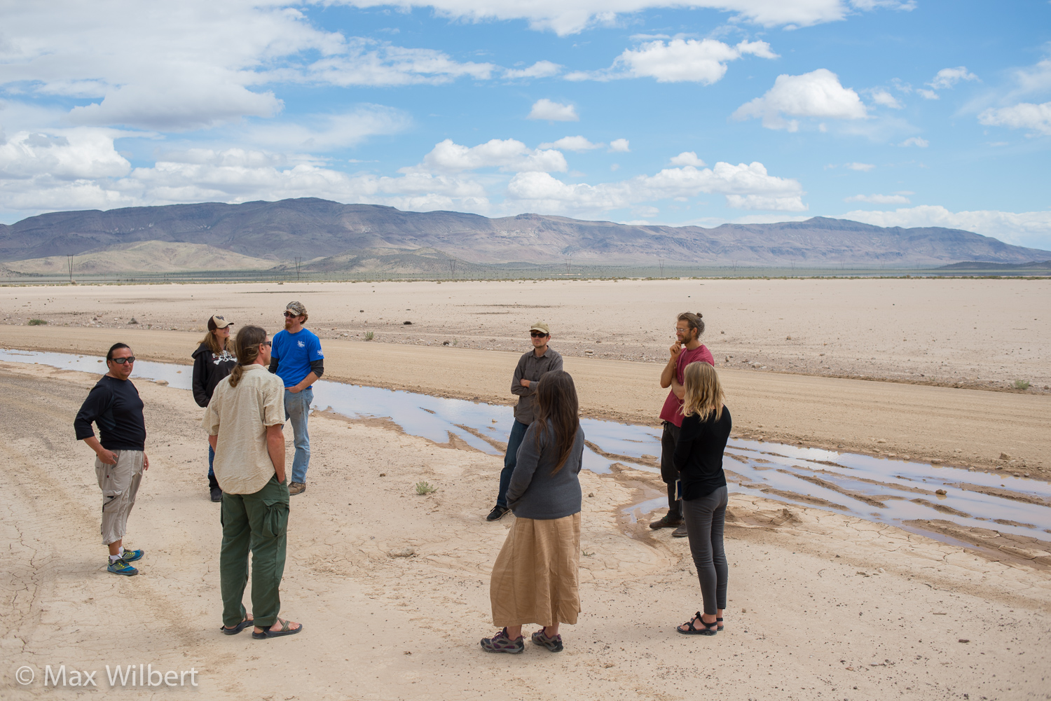


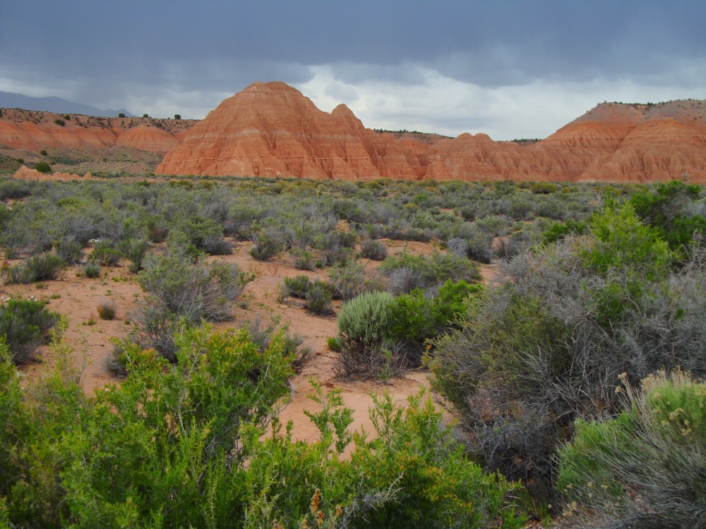
We traveled east towards dry Delamar Lake in the Delamar Valley. No one lives here, and only a few ranchers bring cattle here for part of the year. These valleys were once all filled with lakes and marshes. The lakes may not be visible but they are still here, below the surface, supporting life, flowing in underground streams from mountains and between valleys. Here we found the first SNWA test well.
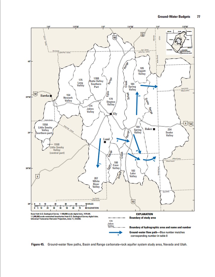
Delamar Valley is part of what is known as the White River Flow System, consisting of water flows from at least 13 interconnected basins. If water is stolen from one valley, the effects will be felt in connecting valleys. But which direction is downstream? And how long does it take for these underground streams to flow from one basin to the next? No one really knows, but many calculations have been done in an attempt to justify taking that amount of water.
A study conducted by the USGS (see Figure 45, above) confirmed valley-to-valley water movement but picked an arbitrary volume, rather than measuring flow directly (which would be difficult, if not impossible). USGS has since adjusted the number, but can’t guarantee its accuracy. This arbitrary assignment and adjustment of water flow, according to Rick, nevertheless indicates SNWA’s influence on the USGS, likely exerted through powerful allies at the Department of the Interior.
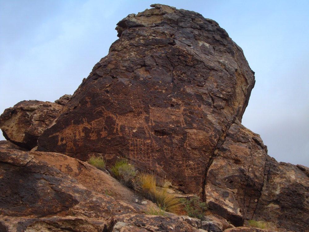
We then visited a petroglyph site on the west side of the valley, more than 100 separate images engraved on dark rocks overlooking Joshua tree forest. Each tree has a unique personality; some seem jovial and others look grim, as if knowing their water will be stolen if no one puts up a fight. Joshua trees are phreatophytes, “a deep-rooted plant that obtains a significant portion of the water that it needs from the phreatic zone (zone of saturation) or the capillary fringe above the phreatic zone.” They are plants SNWA can legally kill, like juniper trees and greasewood shrubs. These plants are considered to be “wasting” the water.
Giant power lines run down this valley: signs of stolen energy being sent to cities. Where do they come from? Where do they go? Will water pipelines soon join these wires in draining the life from these lands?
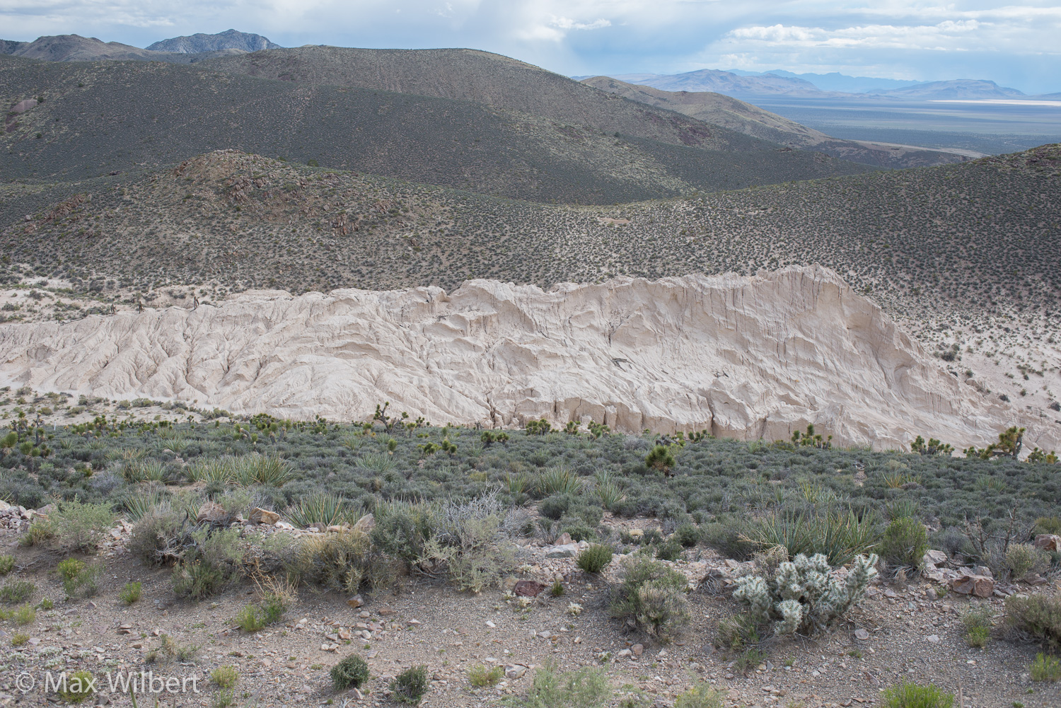
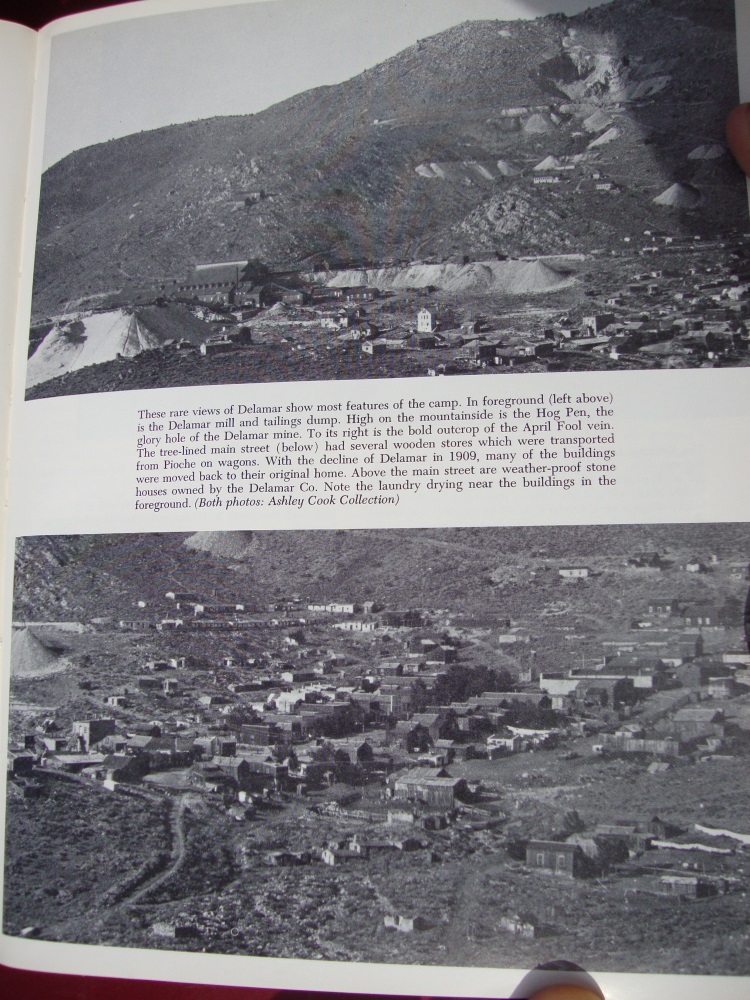
Next we stopped at Delamar gold mine, high on the east side of the valley. Two thousand miners lived here, and 500 of them died of silicosis from powdered quartz inhalation. Mine tailings still erode into the valley, hosting not a single plant or lifeform despite more than fifty years of abandonment. For a time the powder blew into the valley, sickening even those who didn’t work in the mines. One book described Delamar Mine as “successful,” referring to the money made from gold, ignoring the lives taken in the process. This abandoned mine is another example of local sacrifices made to support the greed of those living far away in cities. Water is the new gold in these dry times.
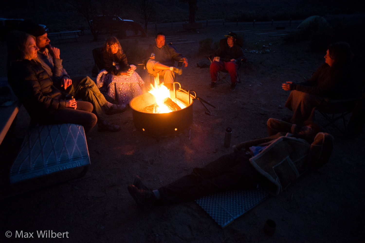
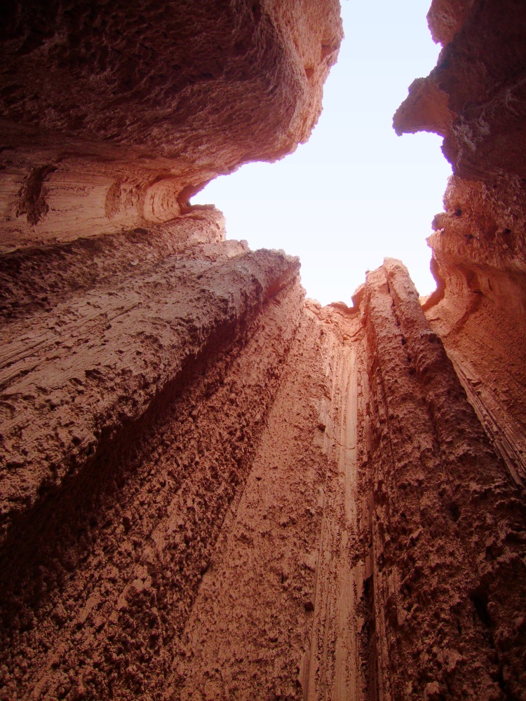
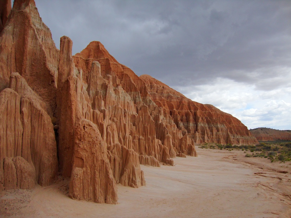
We made camp at Cathedral Gorge, and spent the night sharing stories of resistance and corruption around the fire, such as how the Interior Department asked its agencies (National Park Service, National Wildlife Service, United States Geological Survey, Bureau of Indian Affairs) to drop opposition to the water grab under political pressure.
This sort of corruption goes to the roots of the dominant culture.
Day 2
We woke and broke camp, then moved north through Lake Valley, where Vidler Water Company bought a bankrupted ranch and sold its water rights to SNWA. Here the agency ran into scandal: the Las Vegas Sun reported that “[SNWA] has recently been in the spotlight for two new lawsuits alleging the agency used fraudulent accounting practices to make it seem like ranches it purchased in Northern Nevada were turning a profit. The ranches were purchased for their water rights and cost ratepayers $80 million. They were supposed to funnel water to the south via pipeline. But the pipeline has been ensnarled in a legal battle and has yet to produce a drop of water for Southern Nevada.” Meanwhile, the ranches continue to hemorrhage public funds.
Next stop: Muleshoe Valley, a small side valley where the SNWA pipeline would pass into Lake Valley. These two valleys were particularly healthy. The rainy spring had generously watered blooming cliffrose, purple penstemon, indian paintbrush, and sagebrush. The conifers lacked the parched and dusty look of prolonged drought. Still, the BLM has been conducting “forest thinning” operations in this area to “reduce fire hazard.” But the sites we saw where trees have been thinned are now covered with invasive cheatgrass, a serious fire hazard. It is unlikely that thinning trees will reduce fire frequency, but will instead favor shrubs and annual grasses, making forests more likely to burn. For more on why forest thinning is a bad idea, visit Stop Thinning Forests (run by our friend and fellow DGR member Deanna Meyer).


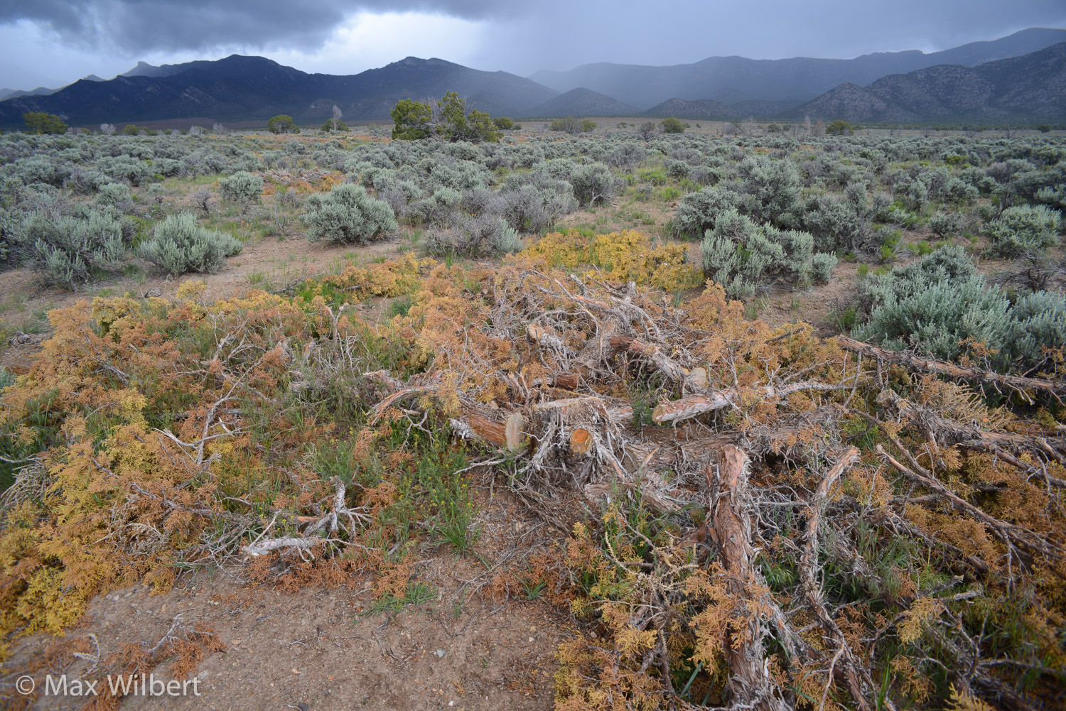
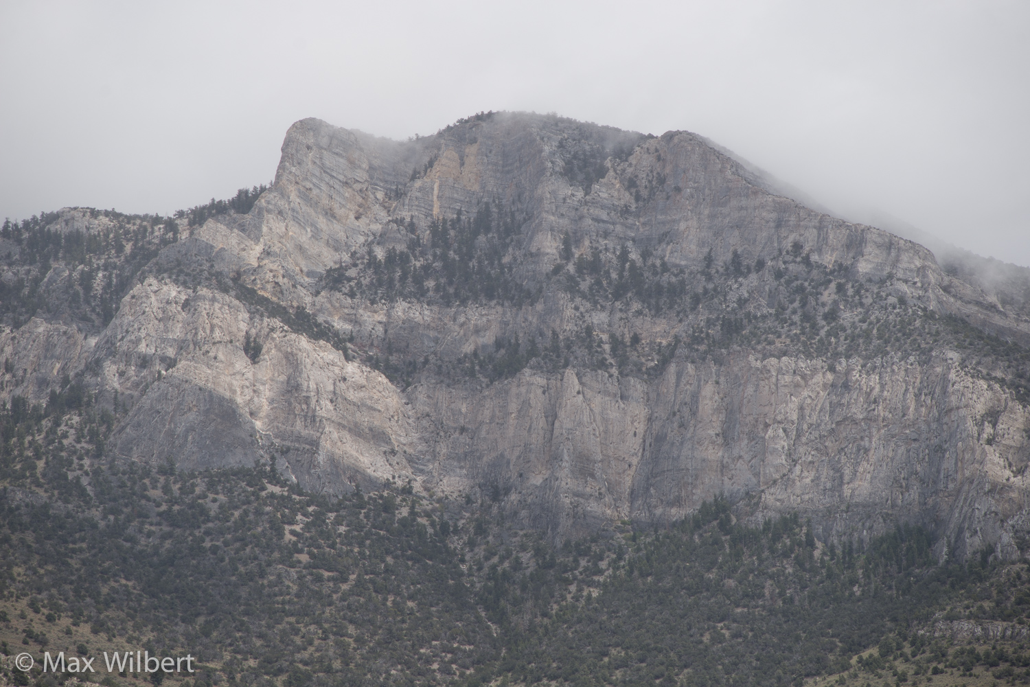




After a hasty lunch and rain squall at Sidehill Pass, we descended to an SNWA test well in Cave Valley. The area reeked of Roundup herbicide, and soil subsidence—possibly from groundwater test pumping—had cracked the concrete well pad.
Farther up the valley, more forest thinning had destroyed miles-wide swathes of forest. This “Pinon-Juniper restoration” supposedly reduces demands on water. Conveniently for SNWA, it also means there will be no dying trees when the water table goes down since they’ll already be dead. Thus SNWA could avoid a “trigger,” an environmental impact that may force them to stop pumping water. (Rick mentioned that at the BLM meeting in Ely for public comment on the thinning project, a representative from SNWA was suspiciously present.)
Cave Valley is home to an “Entrance to Another World,” a living wet cave of slowly dripping water and limestone stalactites, sacred to the Shoshone. This cave’s inhabitants, reliant on seeping water, will likely die from groundwater pumping as only a five feet drawdown of water would dry up this living cave. Caves in deserts represent “islands” that preserve relict species from habitats dating back to the most recent glacial times or even before. The Cave Valley millipede (Nevadesmus hubbsi) is one such creature, and is found only in this cave. The protection of the cave and its groundwater is necessary for the Cave Valley millipede’s continued survival.
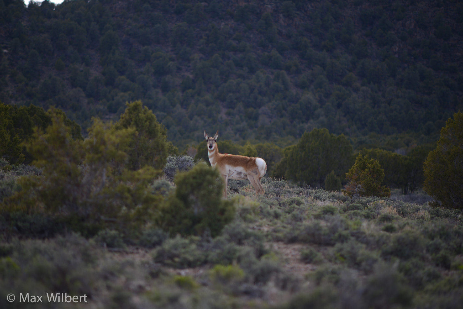
A few miles further up Cave Valley, we crossed paths with a herd of about thirty elk, white rumps flashing through the junipers. We were reminded of last year’s tour and the small herd of wild horses we momentarily caught sight of, and the scattered clusters of antelope far off in the sagebrush and greasewood, drifting here and there like elusive ghosts in the desert.
We later learned about the rare endemic springsnails, a type of freshwater mollusk. Each spring has its own springsnail, with at least forty two endemic springtails known in this region. These tiny creatures play an important part in their ecosystem, and make life possible for other species by converting algae, microorganisms and decaying matter into edible food for fish, birds, turtles, amphibians and small mammals. Without them, wetland food chains would fall apart. Groundwater pumping is the greatest threat to the continued survival of springsnails who rely on perpetual sources of water to survive. (Page 4 of this document shows specific species and location of springsnails.)
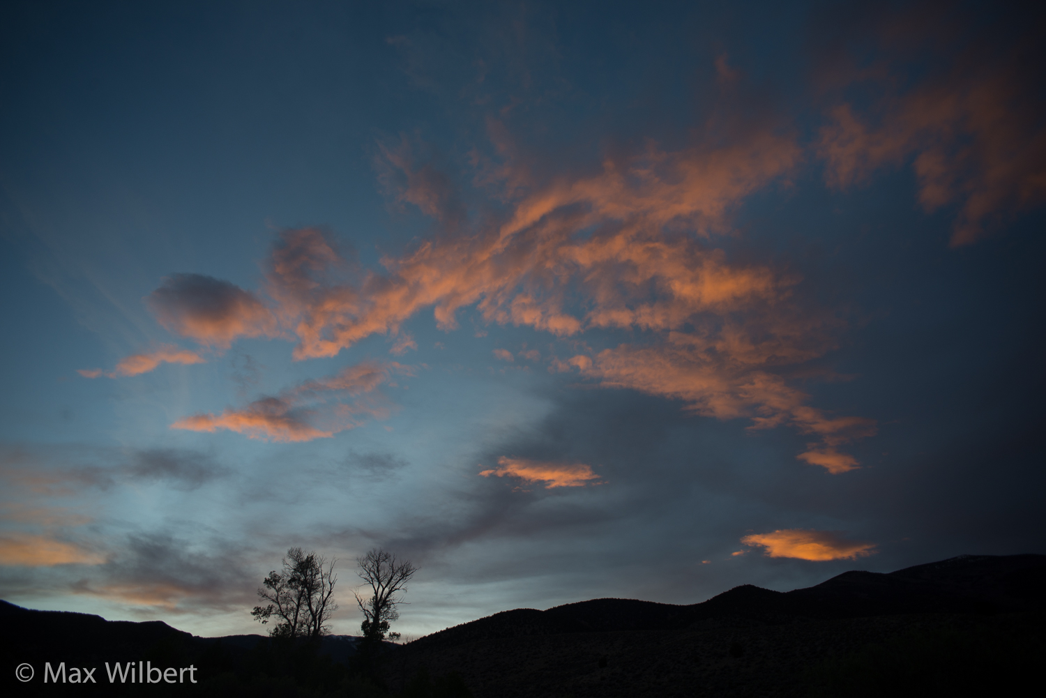
After traveling through another series of storms, we made camp at Cleve Creek and settled in for the night, surrounded by Narrowleaf cottonwood trees, Willow, serviceberry, currants, sumacs, and the other plants flank the small creek. Great blue herons flew overhead to their roosts on the eastern side of the valley.
Rick talked about the twenty six years of successful legal resistance to the water grab, an expensive and tedious process with no end in sight. What will permanently protect the groundwater of the eastern Great Basin? When can victory over SNWA be claimed, what will be the last gasp of the water grab? The Great Basin Water Network’s suggested remedy for Las Vegas’s water problems is to build a seawater desalination plant for Los Angeles, and revise the Colorado River Compact to allocate more water for Las Vegas, which would remain in Lake Mead where it can be siphoned by their existing infrastructure. But revising the Compact means granting Indian tribes and Mexico a seat at that exclusive table, which none of the US power-players want. Rick also mentioned the idea of pumping desalinated water from the coast directly to Las Vegas. Though no more expensive an option, SNWA’s investment in the Great Basin’s groundwater won’t easily be deflected, as Rick well knows, and he offered two other long-term remedies:
“Las Vegas ratepayers will be paying for real-estate development via a SNWA subsidy in the form of increased water rates if this project goes ahead, which is why opposition from within Las Vegas is the best chance for defeating the water grab," he said. “The other possibility is that Las Vegas’s economy could collapse again, permanently.”
Day 3
We woke up to a calm day after the storms, fresh snow on Wheeler Peak in Great Basin National Park. Even the wind turbines were perfectly still as we traveled south to the Swamp Cedars of Spring Valley.
The Spring Valley wind farm is another example of the sacrifice of life for profit and the convenience of those who live in cities. The wind turbines are responsible for the recent deaths of two Golden Eagles, the death of a Northern saw-whet owl and at least 566 bat deaths documented in 2013, mostly Mexican free-tailed bats from a nearby colony in Rose Cave just to the east of the Swamp Cedars.
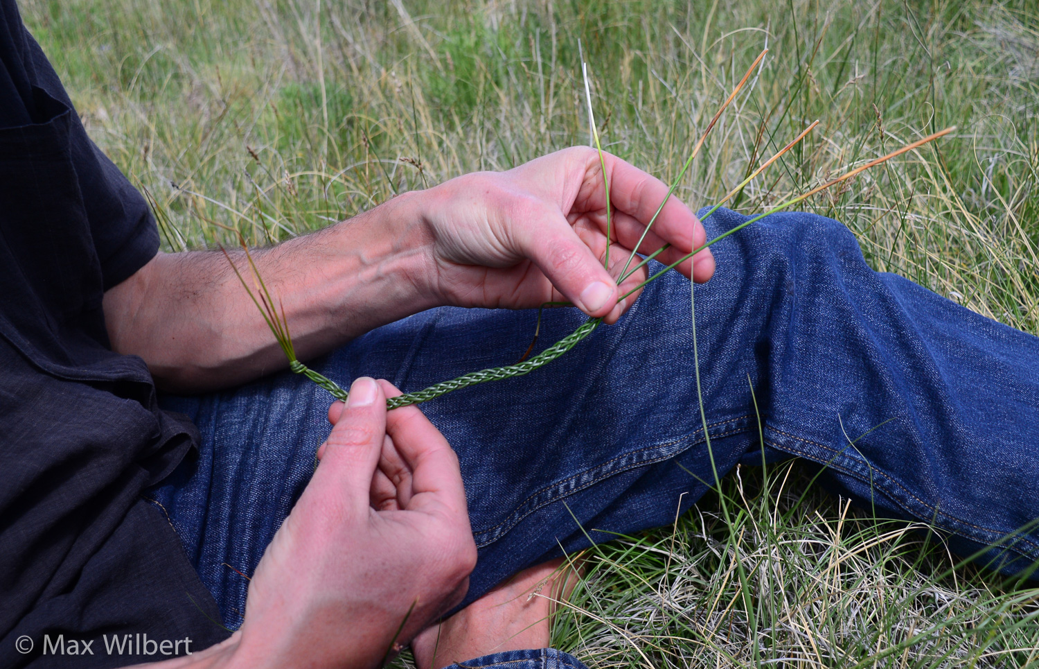
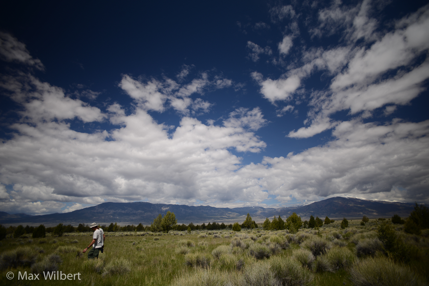
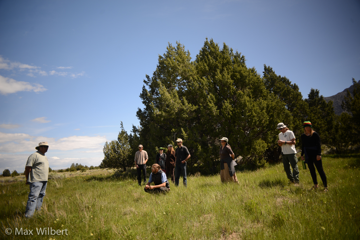
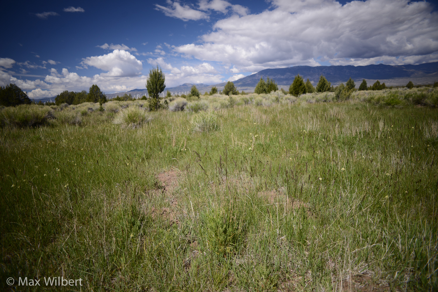
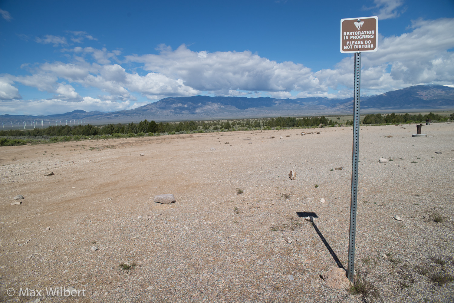
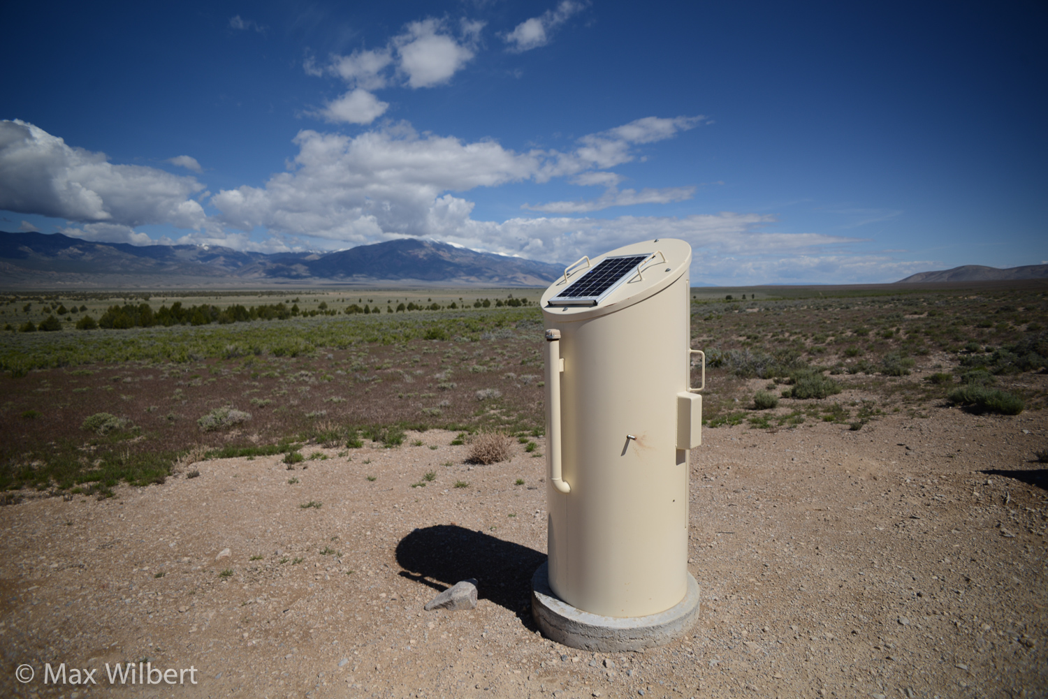
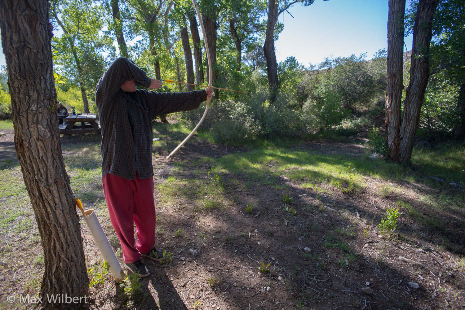
The Swamp Cedars are a unique subspecies of Rocky Mountain juniper (Juniperus scopulorum), likely carried down into the valley during one of the glacial events of the Pleistocene Epoch (approximately 3 million to 10,000 years ago) and form a unique ecotype that occurs in only two locations in the world, both in Spring Valley. Rocky Mountain juniper does not normally occur at lower valley elevations: they are usually restricted to mountains (in Nevada, up to 9300 ft elevation). They are unique: no other juniper species in the world lives in this wet, saline environment. The nearest other Rocky Mountain juniper to the Swamp Cedars is in the Snake Range at the confluence of Strawberry Creek and Blue Canyon at 8030 ft elevation.
The Swamp Cedars of Spring Valley are geographically and genetically isolated, and may be on their way to becoming a new species; they are also another phreatophyte that SNWA can legally kill. With their shallow roots, the swamp cedars will be one of the first plants to die if the groundwater is piped to Las Vegas; they may not last ten years. A test well sits directly upslope of the trees, reeking of Roundup.
This place is sacred to the Newe, now called the Shoshone and Goshute, who were traditionally hunters and gatherers living in small familial groups. The Swamp Cedars is a Sacred Ceremonial site and was once the meeting place of the West and East Shoshone bands until they were massacred by the U.S. Cavalry and civilian militias on three separate occasions (betwen 1863 and 1897). More than 400 men, women, and children were slaughtered.
We were awed by the nonstop bird and insect song at the Swamp Cedars; crickets, bees, meadowlarks, corvids, and more. Spring Valley has the largest groundwater volume of all the valleys, clearly shown here by the abundant signs and sounds of life. If the water is pumped, Spring Valley, as well as the other valleys drained of their water, will probably become dominated by cheatgrass and tumbleweed, prone to fire and frequent dust storms, much like Owens Lake in California after Los Angeles stole its water.
No More Sacrifice Zones
Nevada has long been a sacrifice zone for civilization. Civilized colonizers massacred the indigenous peoples and herded them onto reservations. Then the civilized stole the minerals with many devastating mining projects, and used the homeland for a bombing range. Now civilization is coming for the water. If this continues, Nevada will not sustain much if any life; the next step will be to turn it into a toxic waste dump.
Las Vegas won’t last. It imports everything, so it can’t last. Oil is running out, and so-called “green technology” is no solution. In court, one SNWA lawyer compared the Las Vegas pipeline to the Roman aqueduct. Like Rome, this empire is destined to fall. Any way of life that relies on exploitation eventually runs out of land and life to exploit. But how much will it destroy before it falls? Not much, if we can help it. We want to bring the empire down sooner, and we have a plan to make it happen.
The Future: Stopping the Water Grab
We ended the tour with a discussion with Rick’s mother, Delaine Spilbury, whose grandmother was one of only two little girls to survive the final massacre at the Swamp Cedars. She relayed the news that the Nevada Supreme Court had rejected SNWA’s and the State Engineer’s appeals. This is another small victory that will temporarily keep the land safe. Donations to Great Basin Water Network will help them continue their legal opposition, and are tax-deductible.
What else can be done? An option that we have explored with some locals is the model offered by the Community Legal Environmental Defense Fund, which helps people reclaim democracy and local decision-making to stop projects such as these through municipal law-making. Sustained, well-organized grassroots opposition employing various tactics stands a reasonable chance of success.
But most likely, as long as the empire exists it will continue to exploit the land, enlarging the contado to lengthen the lifespan of unsustainable cities. Our best hope is that these small battles continue to be won until, like the Roman empire, civilization inevitably falls. And just maybe we can give it a kick to send it over faster.
Until then, we’ll be here, fighting as hard as we can for this land.
\\\_______________________
If you are interested in getting involved in this fight, or in speaking with us further, please contact us via email at GreatBasin@DeepGreenResistance.org.
Resources:
- Deep Green Resistance Great Basin
- http://www.biologicaldiversity.org/programs/public_lands/deserts/nevada/groundwater.html
Further Reading:
- The film Chinatown tells a similar story to the SNWA water grab. See article on BLM ROW hearing: http://www.sltrib.com/sltrib/news/52398491-78/vegas-las-nevada-utah.html.csp
- Colorado River Compact renegotiation: http://bostonreview.net/blog/ben-merriman-new-deal-colorado-river
- Detailed maps of the project can be found here.
- Page 4 of this document shows specific species and location of springsnails in the region.
- The Owens Valley is a precautionary tale that shares many similarities with this project.
- See this article from Basin and Range Watch for information about the Spring Valley Wind Project.
- See page 25-30 in this ethnography for the history of the massacres in the region.

